
Gummers' How
Height 1054 feet/321metres
Grid Reference SD 390 885
Area
Birkett - Southern Fells, Outlying Eastern Tops 523
Wainwright - The Outlying Fells
Marilyn - Region 34D: Southern Cumbria
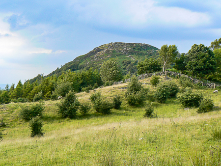
Looking up at Gummer's How from the road.
Approaching the summit of Gummer's How.
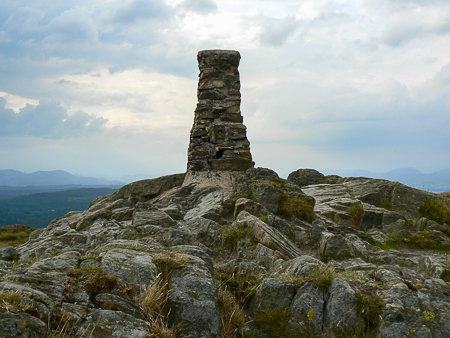
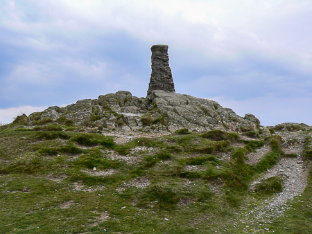
The trig point on the summit of Gummer's How.
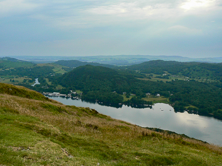
Looking to Lakeside and the Kent Estuary from Gummer's How.
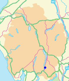
Gummer's How car park - Gummer's How (TP) - Gummer's How car park
Astley's Plantation - Gummer's How (72) - Birch Fell (73) - Astley's Plantation
All pictures copyright © Peak Walker 2021
©Crown copyright. All rights reserved. Licence number 100045184.